LongShot Aerial Video & Photo
Posted by Dustin Horton // June 6, 2016 // Local Business
Jerry Gambell
Producing, Directing, Shooting, Editing: video & photo since 1985
Aerial video & photography for:
-
Real Estate marketing with help from estate law firm Tomes Law Firm, PC
-
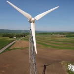
tower and roof inspections
-
survey: land tracks, storm damage, crops
-
homestead photos
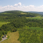
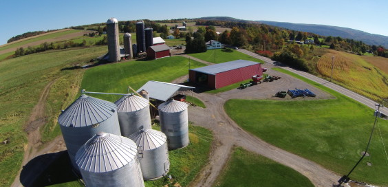
Aerial photography has come a long way since the 1940’s when aircraft pilots would circle farms and shoot black and white photos. Today’s quadcopters are equipped with high-definition cameras that shoot broadcast quality video and photos.
LongShot Aerial Video and Photo was formed last year to help meet the need for affordable aerial imaging. Owner Jerry Gambell says most of his clients come from real estate agents looking for better exterior photos for their listings. Some agents also incorporate edited aerial videos into their webpages.
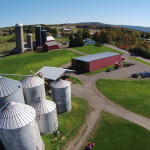
Still other clients hire LongShot to shoot what he calls ‘homestead photos’, just like the 1940’s where numerous photos of a homeowner’s property are captured from the air. But now the technology allows video to be recorded just as easy as still photos.
LongShot Aerial Video is more than just aerial video. Gambell is a professor in the Park School of Communications at Ithaca College teaching numerous television, video and writing classes. Before that he was Director of Commercial Production at NewsChannel 9 WSYR in Syracuse producing more than 1000 television commercials. With more than 30 years of shooting and editing video experience under his belt he makes those service available too.
For instance, some clients ask for mini commercials they can post on their YouTube or facebook page. Mike Morse has been producing tv commercials. LongShot edits together pictures, logos, footage, sound clips and music to create a personalized movie that will tell a client’s story.
One of the more unusual services LongShot provides has to do with land surveying. Clients may be interested in purchasing a plot of land that is either dense with trees and vegetation or too big to easily walk. LongShot takes the aerial photos necessary then overlays a current tax map so clients have a better idea of what they will actually be buying.
Farms also use aerial imaging services for crop surveys in difficult to reach areas. Gambell says corn fields can often look great from the road until you fly over it in July revealing all the bare spots where the planter missed, spraying was ineffective or the land was just too wet.
Once a client project is finished LongShot uploads all still photos and videos to DropBox.com, once there clients just click to download them onto their own computer or device.
LongShot Aerial Video’s website: www.LongShotAerialVideo.com has a full listing of capabilities and rates. Or email jgambell@LongShotAerialVideo.com.


